
Climate & Weather Information

(1943). Past Weather Olympia, WA [Photograph]. NOAA. https://www.ncei.noaa.gov/access/past-weather/Olympia,%20WA

(1952). Past Weather Olympia, WA [Photograph]. NOAA. https://www.ncei.noaa.gov/access/past-weather/Olympia,%20WA

(2024). Past Weather Olympia, WA [Photograph]. NOAA. https://www.ncei.noaa.gov/access/past-weather/Olympia,%20WA

I pulled these three images from the NOAA's website: https://www.ncei.noaa.gov/access/past-weather/Olympia,%20WA

These findings were for the Olympic Forest which is the closest recorded climate and weather information this website had to the Nisqually Wildlife Refuge. The first photo shows location, the Olympic Forest is the light blue dot, and Nisqually is just to the right of it. The second photo is temperature data from 1952 and the third photo shows the climatologic data for May 2024 in that area. You'll see we had one day colder than normal coming in at 31 degrees F. Then two higher than average, hot days coming in at 88 degrees F. The data isn't out for June since we aren't' done for the month but I know we will have some record hot days again showing up. This correlates with our reservoirs of water supply being heavily impacted that flows down from our mountains such as Mount Rainer into the Nisqually River and Puget Sound. On April 16, 2024, Washington issued a statewide drought declaration. Certain areas were impacted more than others; i.e. Seattle, Tacoma, and Everett didn't have limitations. Unlike Lacey, Olympia, Tumwater (basically the Thurston County area where my place of study resides.

----------------------------------------------------------------------------------------------------------

(2021). Annual Weather Averages Near NIsqually [Photograph]. Timeanddate. https://www.timeanddate.com/weather/@5804787/climate

Time and Date is where I found this average for the Nisqually, WA area from 1992-20221. Climate & Weather Averages in Nisqually, Washington, USA (timeanddate.com)

It provides the averages but not necessarily what dates belong to what temperatures. It did, however, provide a comprehensive overview of our hottest yearly months. So, if you want to know trends this website could be useful.

----------------------------------------------------------------------------------------------------------

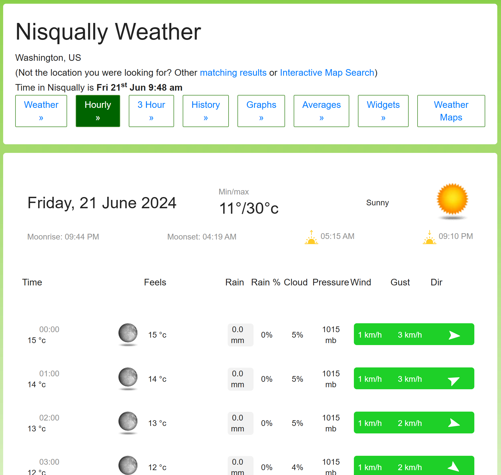
(2024). Nisqually Weather [Photograph]. Worldweatheronline. https://www.worldweatheronline.com/nisqually-weather/washington/us.aspx?day=20&tp=1

I pulled this image from the World Weather Online website. You can go to the hourly tab and look up the weather updates before heading there that day.

Comments

Popular posts from this blog

Starting a Nonprofit in Washington State

In this blog I will lay out steps, tasks, and roles within the given timeline you'd need, so that you can successfully set up a natural resource conservation or preservation nonprofit organization in Washington state . Summary Timeline Overview: 1. Research and Planning: 1-2 months 2. Form a Board of Directors: 1 month 3. Legal Incorporation: 1 month 4. Apply for Tax-Exempt Status: 3-6 months 5. Develop Organizational Infrastructure: 2-3 months 6. Fundraising Strategy: Ongoing 7. Marketing and Outreach: Ongoing 8. Launch Programs and Activities: Ongoing 9. Evaluation and Reporting: Ongoing 10. Compliance and Governance: Ongoing I'm going to imagine I'm setting one up and I'd call it: "Evergreen Conservation Alliance" (ECA) Step 1: Research and Planning Task: Define mission, vision, and objectives. Role: Founders, Board of Directors Timeline: 1-2 months Research: Conduct research on natural resource issues in Washington state...

'Picture This': About a Mobile App

'Picture This' is an app that can identify 1,000,000+ plants daily with over 98% accuracy. It is like a personal plant expert in your pocket! I'm not a seasoned gardener and this app has helped in picking flowers that go well with certain veggies. It has also helped me name and learn about plants in passing on our family walks. This app has helped me name and learn about the many trees we have on the paths of the Nisqually Wildlife Refuge nature trails. It's also helped me learn about native plant species in my area. In my opinion it's been better than google when wanting to get down and dirty with plants, shrubs and trees. Bonus, it even provides plant care tips! A few other features that I have found to be helpful are the "Toxic Plants", "Allergies Plants" and the 'Tips' section such as how to keep pests away from your flowerpots; really beneficial. I found it wonderful that the app wants to aid in protecting curious kiddos and pets ...

Web Soil Survey

Beginner Web Soil Survey Experience The video ^, provided by our professor was very helpful at explaining how to use the web soil survey website. My blog's area is the Nisqually Wildlife Refuge, I'd assume it has healthy soil, or I would at least like to think. However, they did not have information on that area, so my AOI for this assignment was 'Joint Base Lewis McChord' (JBLM). From navigating the website, I appreciate that soil surveys conducted prior to 2008 are archived and it clearly states how to access that information on their website. When a website is easy to use and navigate, it naturally will be used more. Next, I mapped out my AOI. Then, I clicked on the "Download Soil Data" Tab. When you download the soil survey information many folders get downloaded. Two being labeled as 'Spatial' and another as 'Tabular'. The Spatial table is a table containing geometry information; and its features can be seen on a map. The Tabu...